Write a review


 Sign up


Kenyon Drone Solutions
Information is taken from open sources.
About the business:
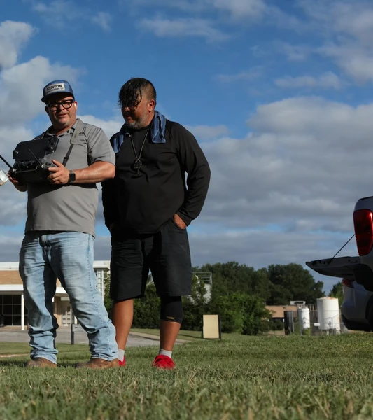
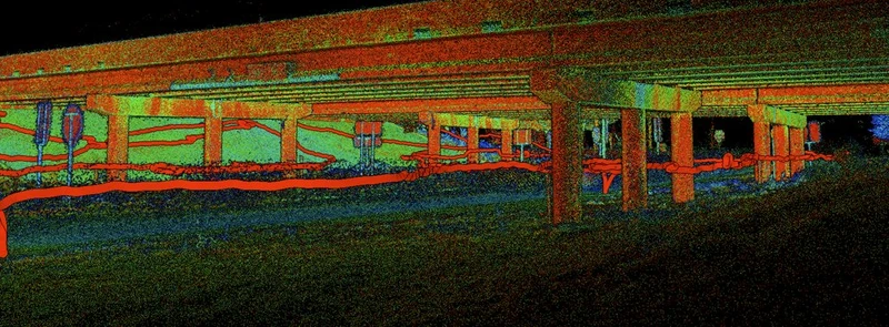
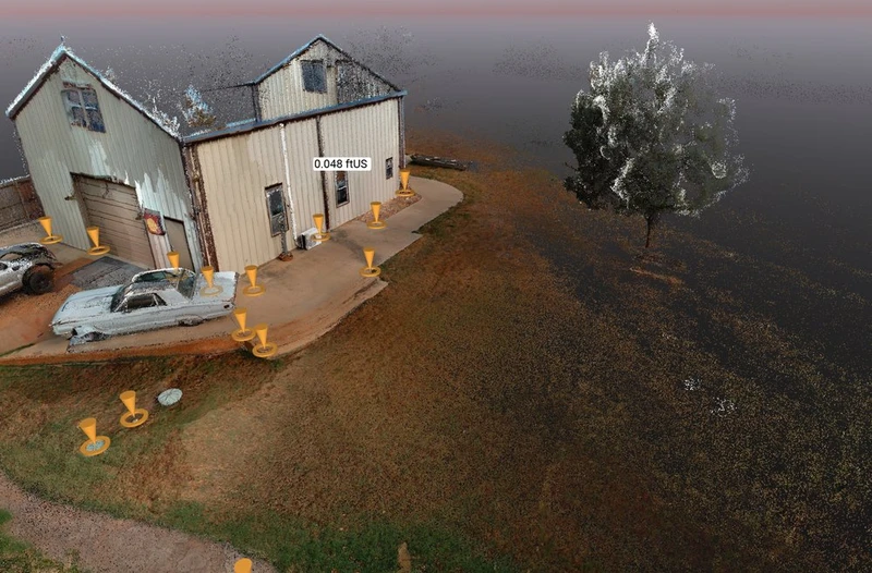
Kenyon Drone Solutions provides professional aerial data acquisition services in collaboration with licensed land surveyors, civil engineering firms, developers, and construction companies.
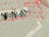
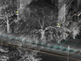
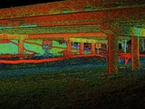
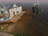
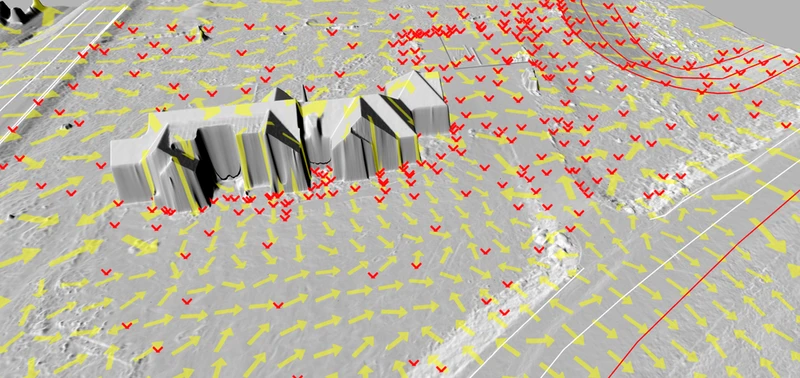
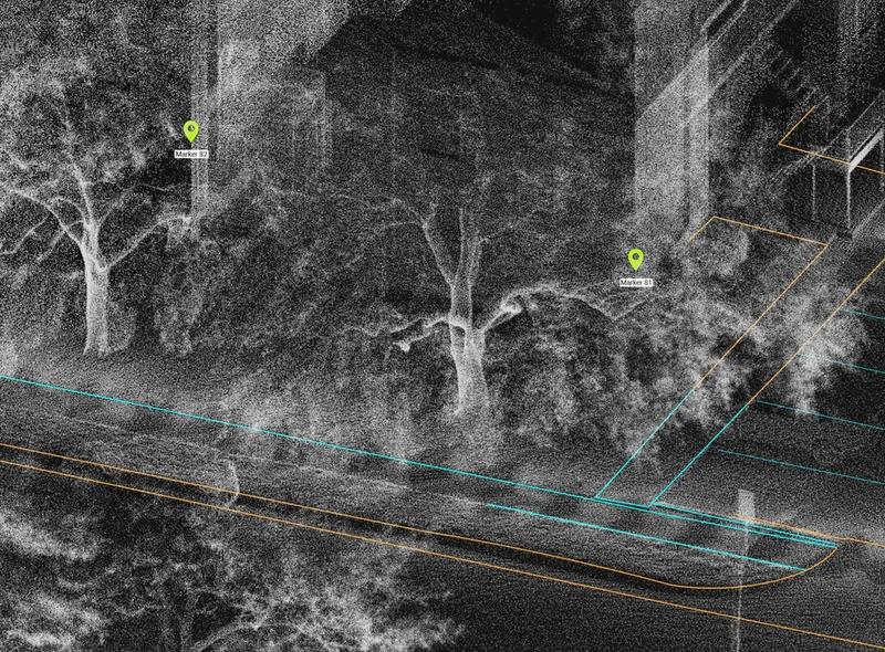
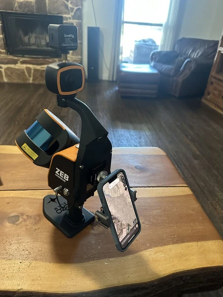
We specialize in LiDAR data collection, high-resolution photogrammetry, and detailed 3D modeling to support surveying and engineering workflows, including:
• Topographic mapping support
• Site development planning
• Infrastructure design coordination
• Construction progress monitoring
• Earthwork and volume analysis
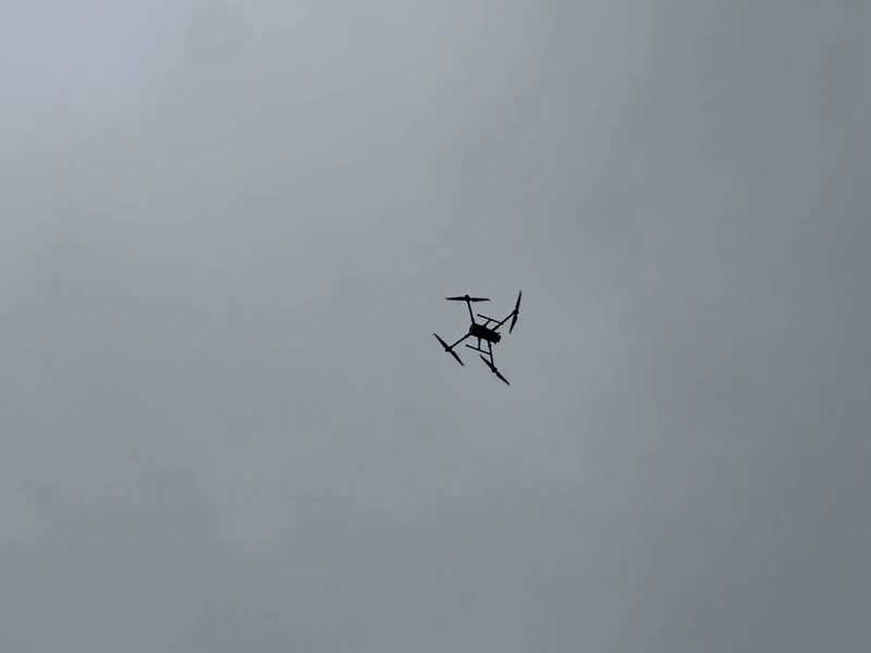
Our advanced drone platforms deliver accurate, reliable geospatial datasets that integrate seamlessly into CAD and GIS environments.
Kenyon Drone Solutions does not provide boundary determination or licensed land surveying services.
Our focus is precise data capture — enabling licensed professionals to move projects forward efficiently and with confidence.
Services:
All services 1
Photos and videos





Hours of operation
- Mon – Fri
- Sat – Sun
- 8:30 AM – 5:00 PM
- Closed
Latest reviews
No reviews yet — be the first!



 Continue with Google